Outer Hebrides
|
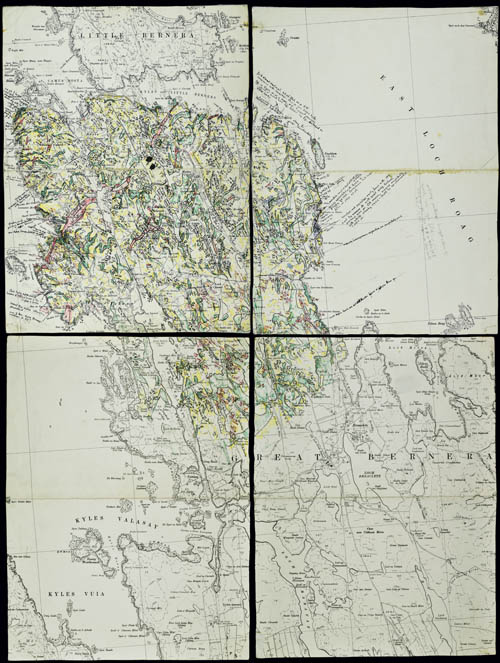
Geological map of Great Bernera, Outer Hebrides, 1960s/1970s. (LDGSL/1078/D/5). Click to enlarge.
|
In the 1960s, Janet Watson turned her attention to the Outer Hebrides. The island chain, largely comprised of Lewisian gneiss, had never been systematically surveyed by the Geological Survey and much of the known geological data was published in the 1930s. Sutton was increasingly busy with day-to-day administration in his role as head of Imperial College’s geology department.
Therefore, just as her mentor H H Read did before her, Watson built up a team of postgraduate researchers (who included Mike Coward, Rod Graham, Rick Sibson, Peter Francis and Richard Lisle amongst their number) to investigate areas of her own interest. These heavily annotated sheets, probably dating from this period, record in detail the geological features of Great Bernera, one of the islands to the west of Lewis.
Such was the success of their surveying work that in 1970 Watson approached Sir Kingsley Dunham, Director of the Institute of Geological Sciences, proposing a collaboration to produce a definitive map of the Outer Hebrides. The four geological maps and memoir were issued in 1981 and 1992 respectively.
Acknowledgements >>