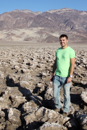
 Mitch D’Arcy*, who received a Society fieldwork research grant, on sediment routing systems in eastern California
The Earth’s surface is made up of ‘sediment routing systems’, natural conveyor belts that transport eroded sediment from upland areas to depositional basins. Sediment may travel via landslides, debris flows or streams before being deposited, and these processes are links in a chain that starts with mountain bedrock and ends in the stratigraphic record. For geologists, understanding these systems is fundamentally important because they determine the locations, volumes, rates, and characteristics of sedimentary deposits.
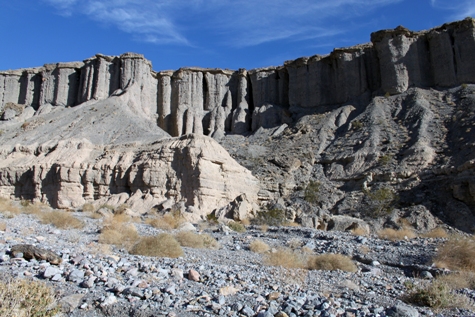
Eastern California is a brilliant place to study sediment routing systems in action. The Sierra Nevada is a dramatic belt of rising mountains and deeply incised catchments that export sediment into the subsiding Owens Valley below to construct vast alluvial fans. Owens Valley is semi-arid today, with the fans fully exposed (apart from a sparse covering of desert shrubland). Drive east for a couple of hours through landscapes that might look more at home on Mars, and you’ll reach Death Valley, which is even drier. Here, you can find more alluvial fans built from pebbles freshly eroded from the Cambrian limestones of the Grapevine Mountains.
For anyone interested in how the Earth’s surface is eroded, these systems have an appealing simplicity because you can see from the highest peaks of the catchments to the lowest toes of the alluvial fans. The landscapes are pristine, the surfaces barren, and ancient stream beds lie virtually untouched for tens, sometimes hundreds, of thousands of years.
 Imagination
This simplicity is good for the imagination, and makes it easy to ask questions about sediment routing systems. If you could turn a dial and make it rain more — or less — what would happen to these mountains? Would doubling the rainfall erode twice as much sediment? How about accelerating basin subsidence? What if you covered the tops of the catchments with pine forests, periodic glaciers, or more thunderstorms?
We don’t really know the answers to any of these questions, and we have a lot to learn about the sensitivities of various landscapes to climate and climate change. Recently, numerical models have given us ideas to test and clues about where to look for the answers, but we need empirical field data to make sense of them. We know that volumetrically-closed systems are good places to start, because sedimentation is rapid and basin deposits form a complete stratigraphic record of how their sediment routing systems have evolved through time.
The mountain catchments and alluvial fans of Owens Valley and Death Valley fit the bill. They experienced powerful climate shifts during the last glacial cycle1, and many of their sediments have been extensively dated using modern techniques like cosmogenic nuclide exposure dating2,3. We visited these valleys in November-December 2013 to sample the alluvial fans and look for evidence of past climate changes recorded in their stratigraphy and sedimentology.
 Gravel grains, desert rains
In Owens Valley, the alluvial fans mantling the Sierra Nevada range front have largely been built by debris flows. These powerful events have carved a maze of channels across the fan terraces and paved them with granite boulders and gravel. There are many ways to study these sediments. As a starting point, we measured the grain-size distributions of the gravels left behind by ancient debris flows, because these should be intrinsically linked to both sediment sources and transport processes.
We recorded the grain-size distributions of gravels deposited on 36 dated alluvial fan terraces in Owens Valley, which have been deposited throughout the last ~ 140ka. As such, they should capture any climate signals from the last glacial cycle. The valley is semi-arid now, but 25ka ago it was much cooler and wetter. There was a large pluvial lake, pine and juniper woodland where today there is desert shrubland, and mountain glaciers in the catchments that have since melted away1.
Our grain size measurements capture past climate changes at high resolution. The debris-flow sediments dating to the glacial period are consistently finer, and coarsen — more than doubling in average clast diameter — as the climate warmed and dried into the Holocene. Debris flows are often assumed to be chaotic, but we have found that over 104-5 year timescales the grain-size distributions of their deposits are highly correlated with regional palaeoclimate records.
It may even be possible to use these sediments as terrestrial records of past climate changes themselves, once we know how to read them. In California, debris flows are typically runoff-induced mass flow events triggered by large storms, and we know that their properties are largely controlled by the maximum intensity of storm rainfall. Therefore, the climate signal preserved in the sedimentology of these debris flow deposits may partly record a time series of past storm intensity in the Sierra Nevada.
 Broken boulders
Geological fieldwork is hugely rewarding for many reasons. Often it is the only way to collect empirical data to test theoretical ideas, and is simultaneously a focused learning experience. Fieldwork can bring surprises too, and ours came in the form of fractures dissecting granite boulders lying on the alluvial fan surfaces. We noticed that these weathering cracks tended to be wider in boulders on the older terraces; not an astonishing observation after tens of thousands of years of weathering, but one with important implications.
We measured the widths of hundreds of boulder cracks on dated terraces, and when we plotted them against their independently-constrained exposure ages2,3 we found a very strong, linear correlation for the past 140ka. The widths of these cracks can be used as an age calibration for exposure dating, at least here in Owens Valley, and that’s potentially very useful for establishing high resolution chronostratigraphies in the field. We didn’t arrive in Owens Valley expecting to measure the ages of the deposits with a ruler, but you never know what you’ll find.
 Death Valley’s dead rivers
Fascinating as debris flows are, a range of other processes operate in mountain catchments. Are they all equally sensitive to principal drivers of environmental change, such as climate? We sampled more alluvial fans in Death Valley that are dominated by stream-flow and therefore experience different sediment transport dynamics from the debris flow fans in Owens Valley. Some theoretical models predict that the rates of grain size fining from apex to toe on an idealised alluvial fan might be partly determined by climate4.
To test this, we measured down-fan grain size transects on three different fan systems in Death Valley, where exposed surfaces date back to the wetter glacial period as well as modern arid conditions5. These alluvial fans are very different from those in Owens Valley, yet our early results indicate that climate change — at least a change in the rainfall budget — matters here as well, and that it can determine the grain-size fining rate on alluvial fans.
The sedimentary archive is our main record of the Earth’s environmental history, but decoding it is not easy. While the grain sizes of basin sediments will not tell us everything about hazardous debris flows and catchment processes, they are a good starting point. Grain size data can record changing sediment sources and transport mechanisms, and form one step in analysing the relationships between climatic changes and landscape responses.
These data can turn terrestrial deposits into quantitative time series, and in California’s deserts they reveal that these landscapes are sensitive to climate change over short timescales. Alongside improving our ability to interpret basin stratigraphy, the past may be our key to understanding the future. How has sediment erosion and deposition responded to past environmental changes? How long did the effects last, and when did they occur?
The answers to these questions are of fundamental interest not only to geologists, but to the people who live in steep and arid landscapes, because they will give us clues about how continued warming might affect the hazards associated with destructive processes like debris flows, landslides, mudflows, and floods.
Acknowledgements
I would like to thank the Geological Society and the Jeremy Willson Charitable Trust for financially supporting my field work in California, as well as the British Society for Geomorphology and International Association of Sedimentologists. Special thanks go to my colleague Miss Duna Roda Boluda and my PhD supervisor Dr Alex Whittaker.
References
- Phillips, FM., 2008. Geological and hydrological history of the paleo-Owens River drainage since the late Miocene. In Late Cenozoic drainage history of the southwestern Great Basin and lower Colorado river region: Geologic and biotic perspectives, Reheis MC, Hershler R, Miller DM (eds), Special Paper 439. Geological Society of America: Boulder, CO; 1-36
- Dühnforth M, Densmore AL, Ivy–Ochs S, Allen PA, Kubik PW., 2007. Timing and patterns of debris flow deposition on Shepherd and Symmes creek fans, Owens Valley, California, deduced from cosmogenic 10Be. Journal of Geophysical Research: Earth Surface 112: F03S15.
- Le K, Lee J, Owen LA, Finkel R., 2007. Late Quaternary slip rates along the Sierra Nevada frontal fault zone, California: Slip partitioning across the western margin of the Eastern California Shear Zone – Basin and Range Province. GSA Bulletin 119: 240-256.
- Allen PA, Armitage JJ, Carter A, Duller RA, Michael NA, Sinclair HD, Whitchurch AL, Whittaker AC., 2013. The Qs problem: Sediment volumetric balance of proximal foreland basin systems. Sedimentology 60: 102-130.
- Frankel KL, Brantley KS, Dolan JF, Finkel RC, Klinger RE, Knott JR, Machette MN, Owen LA, Phillips FM, Slate JL, Wernicke BP., 2007b. Cosmogenic 10Be and 36Cl geochronology of offset alluvial fans along the northern Death Valley fault zone: Implications for transient strain in the eastern California shear zone. Journal of Geophysical Research: Solid Earth 112: B06407.
* Mitch D’Arcy is a research student at Imperial College London. To find out more about applying for a Society fieldwork grant, visit www.geolsoc.org.uk/grants.