Geologist and science writer Nina Morgan* speculates on the colourful life of William Smith
 Even his most loyal supporters had to admit that lecturing was never William Smith's strongest suit. As his nephew, geologist John Phillips [1800–1874], noted in his 1844 memoir of his uncle: ‘a habit of following out his own thoughts into new trains of research, even while engaged in explaining the simplest facts, continually broke the symmetry of Mr Smith's lectures.’ But when it came to expressing his ideas on maps, Smith's concentration was complete.
In his own autobiographical notes, Smith reveals that he ‘wasted much time in poring over maps, in contriving how the ranging edges and planes of the different strata could best be rendered intelligible’; but in the end he concluded that ‘the plain and simple method of representing them [strata] by colours was at last determined on ... those which bear the greatest resemblance to the colour of the strata would, of course be preferred.’
But matching the colour to resemble the rock type in every case proved difficult, and in Smith's mind plain blocks of colour had some drawbacks: ‘To colour the whole width of any stratum then seemed likely to be unintelligible and unfit for making those corrections which were likely to occur as my judgement became mature and my observations repeated.’
No key
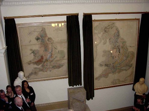
The solution Smith finally hit upon was to show the base of each stratum using a strong band of colour which becomes lighter upwards towards the succeeding formation. This style of colouring was first adopted in Smith's map of 1799, A map of the country 5 miles around Bath, coloured geologically, which incorporated three colours. Even though Smith omitted to provide a key to link formation names to colours, by all accounts, this method proved to be a very effective way of illustrating the geology.
Smith went on to develop a more elaborate colour scheme – consisting of eight colours, to represent strata ranging from the Devonian through to the Chalk – for his 1801 draft General Map of Strata found in England and Wales – again sans key. Puzzling at first, perhaps; but, explains Professor J W Judd in his 1897 review of Smith's maps: ‘by reference to the author's [Smith's] later publications it is not difficult to determine what the several bands of colour are intended to indicate.’
The colours used on the 1801 map, notes Judd, were the same as those used on Smith's later maps, which did have keys, and ‘thus’, he concludes, ‘we have in it the first indication of a scheme of colour now very generally adopted by geologists’.
No need
But for Phillips a map key was probably not essential. Although too young to have had any input into the colouring of Smith's early maps, including Smith's magnum opus, the 1815 Map of the Strata of England and Wales, Phillips may well have discussed map colouring with his uncle for some of the later county maps. As a result, Smith's colouring schemes might have become incorporated into the 'family jargon'. This explains how Phillips, who had been lecturing in Manchester, could write to his sister Anne in July 1832 to tell her that his tongue is: ‘generally a little better, sometimes of a dark blue colour which would do for the Limestone on the Maps & a brown which would do for the Millstone Grit’ and be sure that she would get the joke!
Acknowledgements
Sources for this vignette include: J W Judd, William Smith's manuscript maps, Geological Magazine (Decade IV), 1897, pp. 439-447; Norman Butcher, The Advent of Colour Printed Geological Maps in Britain, Proceedings of the Royal Institution of Great Britain, vol 55, 1983, pp 149-161, John Phillips, Memoirs of William Smith, LLD, John Murray, 1844; a typescript of William Smith's autobiographical notes housed in the archives at the Oxford University Museum of Natural History; and William Smith's Memoir to the map and delineation of the strata of England and Wales, 1815. I am also grateful to Tom Sharpe of the Lyme Regis Museum Trust for helpful correspondence and references about the colouring of Smith's maps.
* Nina Morgan is a geologist and science writer based near Oxford. Her latest book, The Geology of Oxford Gravestones, is available via www.gravestonegeology.uk