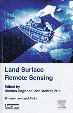
Land Surface Remote Sensing: Environment and Risks
 This book is the sixth volume in a set which aims to provide postgraduate-level information on the physics and applications of remote sensing. Out of nine chapters, only four (119 pages of 337) cover areas of specific geological interest. The other chapters cover deforestation, wildfires, industrial plumes, locust management and epidemiology. This will therefore be a volume primarily for library or online/digital consultation by geologists.
Digital consultation would also be important since the printed book reviewed here is in a relatively small format and the important illustrations are mostly far too small and sadly exclusively in black and white; many of the grey-tone images reveal nothing at all. URLs quoted in the figure captions provide only error messages. An e-book version is available which presumably does have the colour illustrations.
The Drylands and Desertification chapter is relatively short (19pp) and focuses on vegetation and environmental issues rather than geomorphology. The chapter on Earth surface motion and geomorphic processes is limited to optical image correlation techniques and has been abstracted from reports on the EC-FP7 Safelands; Living with landslide risk in Europe. It gives a good summary of the physics behind optical image correlation but the application examples are quite limited and sadly no comparison is made with interferometric radar techniques which probably show more promise in this area.
The chapter on monitoring the environmental impacts from mining is also restricted to optical remote sensing but undoubtedly is of value since it contains good case examples and generally this topic is relatively under-documented. The chapter on the contribution of SAR data to volcanology and subsidence studies does contain a good and concise summary of the theory behind interferometric radar and although the actual application examples are rather limited, there is an extensive and comprehensive bibliography.
The editors stress the value of a holistic cross-disciplinary approach to the subject but this reviewer feels geologists will find the cover price too high relative to the specific content and be interested only in the directly relevant chapters. With the plethora of new Earth observation satellites currently being launched, there may be more postgraduate students from other disciplines seeking better broad knowledge of remote sensing for whom this book would provide an appropriate introduction.
Reviewed by Nigel Press
Land Surface Remote Sensing: Environment and Risks edited by Nicolas Baghdadi and Mehrez Zribi, 2016. Published by ISTE Press 337pp (hdbk) ISBN 978-1-78548-105-5 List Price: £104.00. W: www.iste.co.uk.