In the early hours of 25 April, 2015 a magnitude 7.8 earthquake occurred in Nepal, the biggest earthquake in over 80 years. The earthquake occurred due to thrust faulting resulting from the subducting India plate and the overriding Eurasia plate to the North. The earthquake occurred approximately 80km to the northwest of the Nepalese capital of Kathmandu in an area where the India plate is converging with the Eurasia plate at a rate of 45 mm/yr towards the north-northeast, driving the uplift between the India and Eurasia plates. Recent research suggests that this part of the plate boundary may have been building up strain since 1344.
The earthquake was followed by several aftershocks, including a magnitude 6.7 earthquake on 26 April which triggered more avalanches on Everest. The latest and largest aftershock struck at 07:05 local time on the morning of the 12 May with an epicentre to the South-East of Kathmandu. This aftershock had a magnitude of 7.3 and occurred as a result of thrust faulting on or near the décollement associated with the Main Himalayan Thrust. The event was felt across Nepal, Northern India and Bangladesh.
The earthquake has devastated many areas of this Himalayan country where towns and villages have been cut off by the severe damage left by the earthquake including avalanches and landslides. According to the United Nations Office for the Coordination of Humanitarian Affairs (UNOCHA) at the time of writing (29 April) the earthquake has claimed more than 5,000 lives and left more than 8,000 people injured and over 8 million people in need of humanitarian assistance.
This page lists some resources which Fellows and members of the public may find useful to understand the geological context in which the earthquake occurred, the history of tectonics in this region and resources on earthquakes more generally.
Nepal Earthquake and Seismic Hazards in the Himalaya
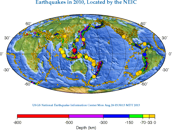
USGS have put together some information on their website detailing when and where the earthquake occurred and the tectonic setting with some useful maps and diagrams.
The British Geological Survey page on the 12 May aftershock:
Mapaction have produced a map of the earthquake and larger aftershocks, showing the priority affected districts as designated by the government of Nepal.
Historical earthquakes
Recent research in the area, presented at the Nepal Geological Congress less than 3 weeks before the earthquake, suggests that the fault segment that ruptured last moved in 1344, with evidence of a historical pattern of earthquakes moving west along the plate boundary.
Landslide hazards
Earthquakes without Frontiers (British Geological Survey / Durham University) are working with NASA and US Geological Survey's Volunteer Earthquake Response Team, using satellite imagery to map landslides in Nepal and assess landslide hazard following the earthquake. This is being updated following the 12 May aftershock, which occurred directly beneath the area that suffered the largest impacts from landsliding in the original earthquake.
They found that despite several large valley-blocking landslides, some of which have dammed rivers with the risk of catastrophic flooding if they breach, the greatest local impact and loss of life was due to large numbers of small landslides.The scientists also predicted that many more damaging landslides than usual may occur when the 2015 monsoon begins in June, and the need to plan for mitigation measures must remain a priority.
Earthquake Engineering
The Earthquake Engineering Field Investigation team SARAID (Search And Rescue Assistance In Disasters) deployed a team to Nepal including two engineers. The team coordinated and conducted searches for live victims trapped in collapsed buildings, and two engineers from the Earthquake Engineering Field Investigation Team (EEFIT) conducted structural assessments of key buildings.
Himalaya Tectonics
As part of GSL's 2014 conference on Sustainable Resource Development in the Himalaya, Tim Wright of the University of Leeds gave a lecture on 'Active Deformation and Seismic Hazard in the India-Asia collision zone' which includes some background on the tectonics of this region. You can find his presentation on the GSL website.
Earthquakes - General Resources
 Geological Society web resources
Geological Society Lectures and Podcasts
 London Lectures
 Podcasts
back to top